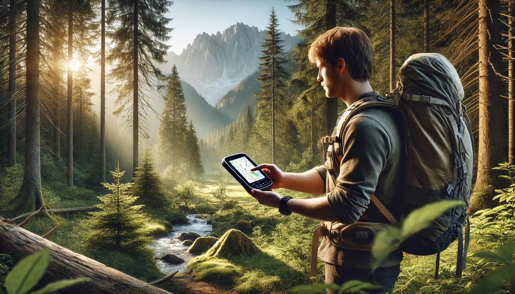
The Garmin eTrex 10 is a rugged and reliable handheld GPS navigator designed for outdoor enthusiasts who need dependable navigation without unnecessary complexity. Featuring a 2.2-inch monochrome display, it provides clear and easy-to-read maps even in bright sunlight. The device comes preloaded with a worldwide basemap, allowing users to track their journey anywhere on the globe. Whether you’re hiking, geocaching, or trekking through remote locations, the eTrex 10 is built for navigation precision, ensuring a seamless and intuitive user experience.
Equipped with WAAS-enabled GPS and GLONASS support, the device ensures fast positioning and maintains a strong satellite signal even in challenging environments. The HotFix technology enhances accuracy by predicting satellite locations, providing quick signal acquisition. Waterproof to IPX7 standards, the eTrex 10 is resistant to rain, splashes, and accidental submersion, making it a dependable tool for adventurers who frequently navigate through rough weather conditions. Additionally, it supports paperless geocaching, allowing users to store waypoints, track progress, and estimate time and distance between points effortlessly.
With an impressive battery life of up to 20 hours using two standard AA batteries, the eTrex 10 is built for extended outdoor use. It also supports Garmin’s spine mounting accessories, making it easy to attach to various mounts for hands-free navigation. While it may lack advanced features like color maps or touchscreen functionality, the eTrex 10 remains an excellent choice for those who need a durable, accurate, and no-frills GPS device for hiking, geocaching, and outdoor exploration.
Pros of the Garmin eTrex 10
1. Rugged, Waterproof, and Durable
- The IPX7 waterproof rating protects it from rain, splashes, and temporary submersion, making it ideal for all-weather adventures.
- Built with sturdy plastic housing, it can withstand drops, dirt, mud, and rough handling without breaking or losing performance.
- No need for an additional protective case; users report dropping it from 10 feet onto dirt and even into waterwithout any issues.
2. Accurate GPS Tracking and Fast Signal Lock
- WAAS-enabled GPS receiver with HotFix and GLONASS support ensures quick and accurate location tracking.
- Works in dense tree cover, canyons, and remote locations where smartphones often struggle.
- Fast satellite acquisition, even after long periods of inactivity.
- Accuracy is within 6 to 9 feet, especially in open areas with clear skies.
3. Excellent Battery Life
- Runs for 30+ hours on two AA batteries (Lithium batteries provide even longer performance).
- Significantly longer battery life than color-screen GPS devices due to its efficient monochrome display.
- Users report using it for multi-day hikes and long outdoor trips without battery concerns.
- Rechargeable AA batteries work great, reducing the cost of battery replacements.
4. Simple and Functional User Interface
- The interface is straightforward and easy to navigate, even for beginners.
- Physical joystick navigation makes it easy to operate with gloves on, unlike touchscreen models.
- The trip computer provides essential real-time data like speed, elevation, distance, and estimated time to destination.
5. Great for Geocaching and Outdoor Exploration
- Supports paperless geocaching, allowing users to download geocache locations directly onto the device.
- Works well for off-trail navigation, marking waypoints, tracking hikes, and retracing paths using TrackBack.
- Perfect for hunters, hikers, and adventure travelers who need a lightweight and reliable navigation companion.
6. Versatile for Different Uses
- Can be used for geotagging photographs, thanks to its ability to generate GPX files compatible with apps like Lightroom and GeoSetter.
- Provides sun and moon rise/set times, useful for hunting and fishing.
- Ideal for marking locations, tracking acreage, and finding way back to camp.
- Works well for mountain biking, kayaking, and adventure sports where carrying a smartphone is impractical.
7. Easy Data Management and Transfer
- Connects easily to a computer via USB and functions like a flash drive for transferring waypoints, routes, and tracks.
- Compatible with Google Earth, BaseCamp, and other GPS mapping software for planning and reviewing trips.
- No need for special software—simply drag and drop GPX files for backup and use.
Cons of the Garmin eTrex 10
1. Limited Internal Storage (8MB Only)
- No option to add external memory (SD card), limiting map storage capabilities.
- Only supports the preloaded worldwide basemap, which lacks detailed roads, trails, and topographical features.
- No ability to add extra maps, such as topographic or street maps.
- While OpenStreetMap portions can be added, storage constraints make it difficult to load large areas.
2. Small and Basic Monochrome Display
- The 2.2-inch monochrome screen is clear in bright sunlight but lacks the vibrancy of modern color displays.
- No touchscreen functionality, which might feel outdated for some users.
- Scrolling speed is slow, making it tedious to navigate across long tracks.
- Does not show detailed terrain maps, which might be a downside for those who need topographic details for hiking.
3. No Advanced Navigation Features
- No turn-by-turn navigation, making it less useful for car travel compared to GPS devices with road mapping.
- Lacks Bluetooth and Wi-Fi connectivity, so updates and data transfers must be done manually via USB.
- No altimeter, barometer, or electronic compass—requires movement to determine direction.
- Does not include route optimization or advanced trip planning found in higher-end Garmin models.
4. Limited Display Customization
- Can only display basic trip details, such as speed, distance, and estimated arrival time.
- No advanced data fields for elevation, temperature, or heart rate tracking.
- Lacks a built-in flashlight or emergency signal feature, which some hikers might find useful.
5. Slight Learning Curve for Beginners
- Some users struggle with menu navigation and the lack of a dedicated “New Track” option.
- The joystick can feel stiff at first, requiring a bit of practice to get used to.
- The manual is not detailed, so new users may need to watch online tutorials to understand all features.
6. Occasional Software Limitations
- If the track memory gets too full, deleting old tracks can be a hassle.
- Firmware updates require a computer and USB connection; no over-the-air updates.
- Minor software bugs, such as occasional slowdowns in track deletion, have been reported.
Final Verdict: Is the Garmin eTrex 10 Worth It?
The Garmin eTrex 10 is an excellent entry-level GPS navigator for hikers, geocachers, hunters, and outdoor adventurers who prioritize durability, battery life, and simplicity over fancy features. While it lacks advanced navigation tools and detailed maps, it makes up for it with accurate GPS tracking, rugged build quality, and ease of use.
This no-frills device is perfect for those who need a reliable backup GPS for off-grid travel, geocaching, or marking locations. However, if you need topographic maps, street navigation, or a more feature-rich experience, you may want to consider higher-end models like the Garmin eTrex 22x or 32x.
Who Should Buy It?
 Hikers and backpackers who need a rugged and long-lasting GPS.
Hunters, geocachers, and surveyors who want a simple and reliable unit.
Outdoor travelers who need an affordable GPS for marking locations and tracking movement.
People who want a backup GPS in case their smartphone loses signal or runs out of battery.
Who Should Look Elsewhere?
 Travelers who need detailed topographic or road maps.
Cyclists and motorcyclists who want turn-by-turn navigation.
Users looking for Bluetooth, Wi-Fi, or a color touchscreen.
Those who prefer a GPS with expandable storage for additional maps.
Final Rating:  ☆ (4/5)
The Garmin eTrex 10 is a basic but highly effective GPS for those who value simplicity, durability, and affordabilityover flashy features. It may not have all the bells and whistles, but it excels in what it is designed to do—keep you on track in the great outdoors. 